
GPS coordinates
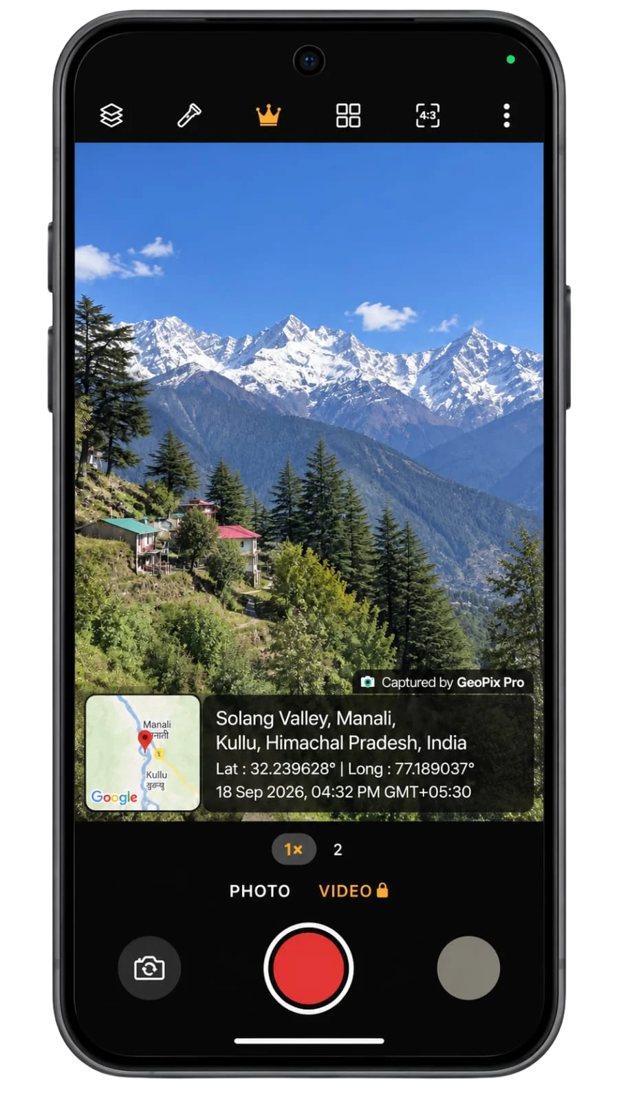
Latitude and longitude read straight from your device GPS and written onto the shot as you take it.
GPS MAP CAMERA · BUILT FOR FIELD WORK
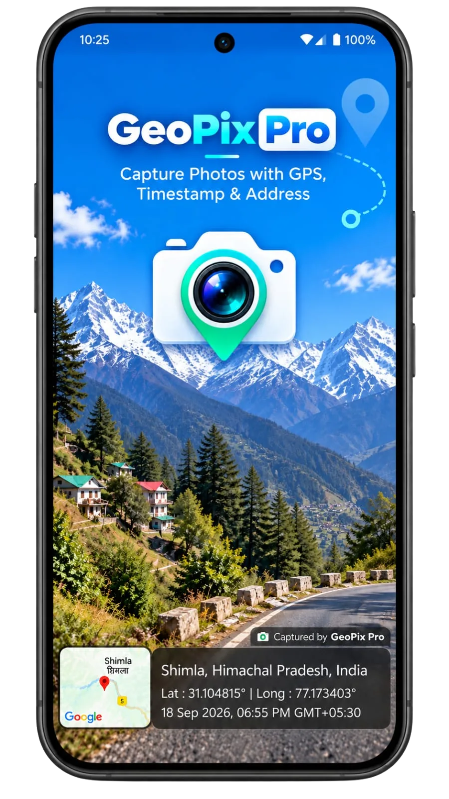
GeoPix Pro is a free GPS map camera for Android. It stamps the map, the exact coordinates, the full address and the moment of capture onto every photo and video, so a photo is never just a photo, it is a record.
WHAT EVERY SHOT CARRIES
The same three lines the app puts on the frame — and keeps with the file, long after it has been shared, forwarded and dropped into a report.
Plus the map thumbnail, your project or site name and an optional watermark.
EVERYTHING IN THE FRAME
Six things GeoPix Pro handles for you, every single capture.
Latitude and longitude read straight from your device GPS and written onto the shot as you take it.
A live map thumbnail is captured with the frame, so the place is visible at a glance — not just in the metadata.
Date, time and GMT offset are stamped at the moment of capture, with the clock running live in the viewfinder.
Street, locality, city, state, PIN code and country, resolved from the coordinates and laid out under the map.
Label every capture with the project or site it belongs to, and drop the GeoPix watermark when you need a clean frame.
Record clips with location, address and a ticking timestamp burned into the video — up to 10 minutes per clip.
HOW IT WORKS
GeoPix Pro opens straight into the viewfinder and locks on to your location while you frame the shot.
One tap. Map, address, coordinates and timestamp are written into the image — no editing step afterwards.
Photos land in your gallery, ready for the report, the client email or the WhatsApp group.
MADE FOR THE REAL WORLD
Surveyors, inspectors, engineers, realtors and field teams use GeoPix Pro when a photograph has to answer two questions at once: what happened, and exactly where.
GeoPix Pro never uploads your photos or videos. Location is used to put the map, address and coordinates on the stamp, and the app does not track you in the background.
QUESTIONS
Install GeoPix Pro, allow location access and wait a moment for GPS to lock. Tap the shutter and the map, full address, latitude, longitude, date and time are stamped onto the photo, which is saved straight to your gallery.
Yes. The map, address, coordinates and timestamp are drawn onto the image as it is captured, so they survive sharing on WhatsApp, email and printing. Hidden EXIF data is often stripped when a photo is shared; the stamp is part of the picture.
Yes, with Premium. The location stamp and a running clock are burned into every frame of the video, with clips of up to 10 minutes, in portrait or landscape.
No. The address and coordinates come from your phone's GPS at the moment you shoot, and there is no option to type a different place or time. That is what makes GeoPix Pro photos useful as proof.
Yes. In Settings you can turn the map, the coordinates and the date and time on or off. Premium adds a project or site name, satellite and terrain map styles, High and Ultra image quality and removal of the GeoPix Pro watermark.
Yes. GPS photos with the map, address, coordinates and time are free, with no ads and no limit on how many you take. Your first 5 photos also unlock the Premium photo options so you can try them. Premium is a monthly or yearly subscription through Google Play; prices for your country are shown in the app, and you can cancel any time.
In a GeoPix Pro album in your phone's gallery, like any other camera app. From there they are yours to share, back up or drop into a report.
Android phones running Android 8.0 or newer, installed from Google Play.
Free on Google Play. Install it before the next site visit and your first capture already carries its own proof.
GET IT ONGoogle Play